
The Global Paddling Community
Independent - Daily
Login / Connect
Forums
SUPzero Forums
Market
- Small Pyranha Loki for sale » Hi Charles, Unfortunately this post is over 4 years old so I would imagine the boat has been sold... (FS - North America - US)
- Necky Blunt for sale » Is your boat still For sale... (FS - Africa)
- WTB Jackson Funrunner 60 » Looking for a Funrunner 60... (FS - North America - US)
 | |
[please login to make this ad block disappear]
Articles
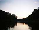
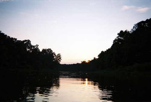
Touring: Yalobusha River, Grenada
|
Touring: USA, Grenada, Mississippi-Yalobusha River |
What's it like
The Yalobusha River is an easy flowing natural river. The water level and flow are controlled by the U.S. Army Corp of Engineers through the Grenada Lake. Spring and Summer will be the best times for the river to have current. In winter the river is pretty still.
How to get there
Take the I-55 Grenada, MS exit 206. Go east on MS HWY 8. Turn left at the second traffic light on to South St. Take South St. about a mile and a half to Main St. Turn Left (west) on to Main street. Take Main Street about a mile untill you come the Yalobusha river bridge. The boat ramp and parking area is on the right after you go over the bridge.
More info
For water level information contact the U.S. Army Corp of Engineers +1 662-226-5911
Nearest weather station (°C): |
 |