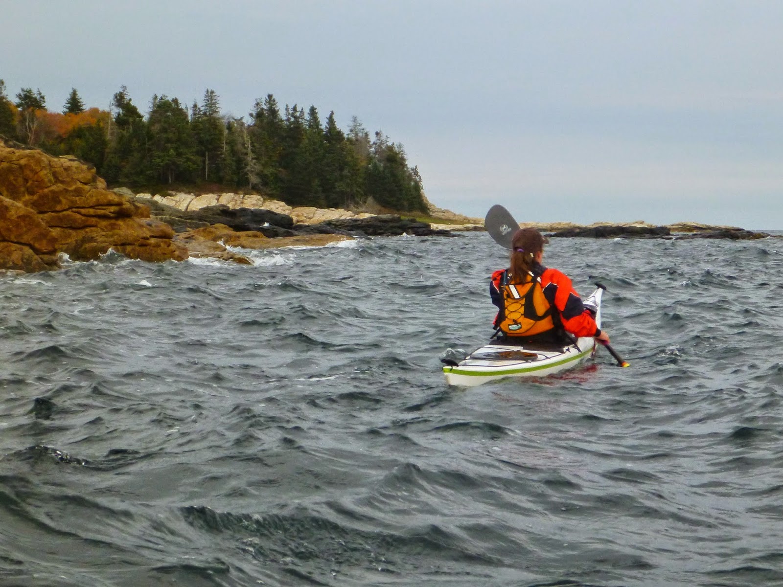
We launched from Ocean Point just south of East Boothbay -- Rebecca, Barb, Julie and I -- and headed south, pointed toward the Ram Island lighthouse across a half-mile channel that, in the summertime would have been cluttered with fancy picnic boats but now lay steely and calm, hardly another boat around. October had been fairly warm, and now, nearly at its end, the season seemed unlikely to yield many more such days, and we were here to make the most of it with a trip around Damariscove Island. We passed the lighthouse and followed the shore of Fisherman Island.
It felt good to follow the contours of the shore, in and out of the rocks, making tighter and tighter turns. Seguin Island rose over the horizon, eight miles down the coast, across a calm sea. We joked about changing our plans and heading there-- it was the sort of day you could go just about anywhere-- but I was already thinking about eating lunch. And this trip has an obvious lunch destination- the long, south-facing cove on Damariscove Island. You know you're almost there when the tower of the former lifesaving station rises over the treeless, rolling hills.
Damariscove Island has a long history of human habitation. The natives came out in canoes to hunt for birds and eggs until the 1500s, when European fishermen began using it as a base. The Pilgrims stopped at the fishing station there on their way to Cape Cod Bay, and returned when they ran out of food in the winter of 1622. Damariscove fishermen sent a boat-load of cod, which probably saved the colony. Now the lifesaving station is a private residence, but most of the island is owned by the Boothbay Region Land Trust.
We ate our lunch at a picnic table beside the museum- a tiny building with a collection of artifacts from the island- and then took a walk up to the tower, from where you can see a long stretch of the Maine coast, from Cape Small to Monhegan and Metinic.
While we were up there, we observed that the tide had begun to ebb against the mild south wind, turning the water surface choppy. We headed out of the harbor and followed the the southeast shore, occasionally pausing to play in the lively bits.
Rebecca was paddling a Delphin and had some particularly graceful moments. Here she's pivoting into the incoming surf, swinging her stern around toward shore. A moment later, she caught the same wave and surfed it away from the rocks. Small waves, big fun.
We headed over to Outer Heron Island and the White Islands, both part of the Maine Coastal Islands National Wildlife Refuge. They're both closed for bird nesting earlier in the year, making this a good time to check them out.
Tall, whitish cliffs drop steeply into the sea around the southern end of White Island. At the top, an old chimney still stands like a monument.
We landed at a pocket beach on the north side and followed rocky ledges up to the top. The sun was sinking toward the western horizon, dropping out of the clouds and giving us a brief burst of color, before the clouds moved-in again, wispy lace and mackerel scales with a distinct wintery look.
I had hoped I might get a photo or two for the guidebook- maybe one that really conveyed the feeling of Damariscove Island. We headed back across the channel, aiming for the tiny splotch of red where we'd parked the car. I felt I had a few photos and some new details as well. I've been editing the guidebook, compressing it and weeding-out extra words. It feels like a process that will never end, even after the book comes out, and in a way, I don't think it will. We were off the water just before sunset.


1 comment:
Nice photos. Thanks for sharing.
Post a Comment